View Langley Mill to Ingleby Wild Swimming Spot in a larger map
Well if it hadn't been for the tardiness of certain trains yesterday my day out would have been a lot less convenient. Having left the house a little too late for the 11:03 Nottingham train, and hurtled down the hill at quite possibly my fastest time ever, notwithstanding a road closure on Psalter Lane, I was relieved to find on getting to the station footbridge that the train was not even waiting on the platform, not to mention just setting off towards the station throat in that annoying way they have. So I had time to catch my breath and gulp some water before it ambled in.
My destination was Langley Mill - now why on earth would you go there, I hear you say? Well, Northern services to Nottingham will be terminating there over the summer, while the Lace City's station is rebuilt and remodelled, so I thought I would check out the cycling options. Many years ago I enjoyed a ride up the Erewash Canal, so I thought I would see how it has fared since then.
Disembarking at Langley Mill, the first thing to note is that there are some pretty steep step to get out of the station, so you need to be able to carry your bike down. There is a ramp on the Northbound side, although the National Rail site says there isn't.
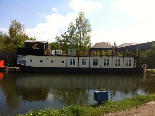
The road below the station is pretty busy, but just about cyclable, and the canal basin is a few hundred yards to the east past a giant ASDA. There is this rather nice houseboat in the basin which is for sale.
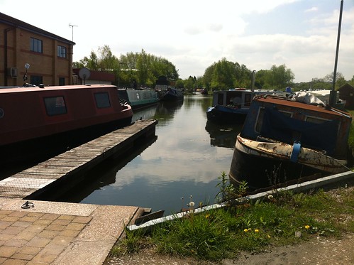
The Erewash canal is a truncated section of the Cromford canal, which you can pick up again at Ambergate to go up to Cromford - a slightly more scenic section of the cut. I don't know whether the filled-in section is negotiable by cycle but I suspect not easily.
To head south from the basin bump down the steps under the road bridge and away you go. The first part is not in particularly good condition but it improves as you head south - it's part of the Erewash valley trail and NCN67 comes in north of Sandiacre at which point it gets really good (I haven't tried that bit of 67 which goes up to Shipley Country Park, but plan to some day - 67 of course passes through Sheffield on it's way to Chesterfield, but there's a missing link south of the Twisted Spire)
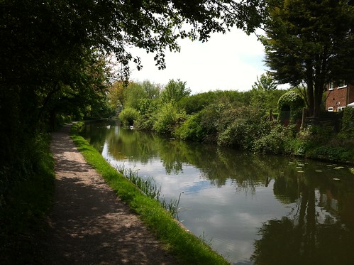
Further south the path takes to the flood wall for a section.
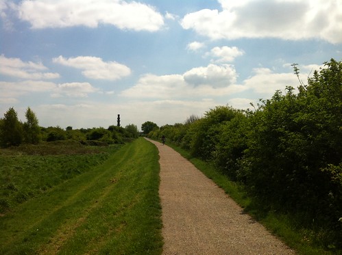
At Sandiacre there's a handsome mill that has been converted into apartments
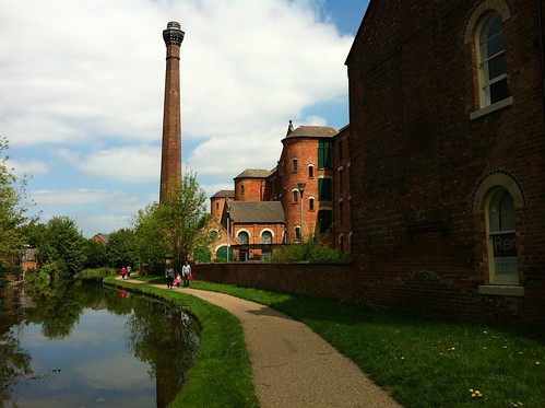
At Long Eaton NCN67 leaves the canal to commune with NCN6, but it's worthwhile continuing down to the canal to Trent Junction, a remarkable place where the Trent, the Derwent and a couple of canals converge while the railway passes over. There is a pub and cafe here and you can take river cruises.
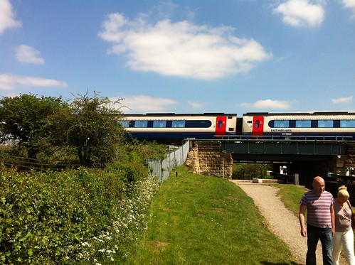
I retraced my pedals and came off at Long Eaton, crossing the canal and taking NCN6 towards Derby.
This passes through a large park, which the first time I went through was looking rather derelict and forlorn, but now looks very well kept up and well used. I reflected that a bit of civic pride can go a long way towards restoring the morale of a population - sadly the current government sets no store by such things and we can expect another decline in the urban landscape as civic budgets are cut.
I followed the route of 6, passing a fund-raiser for the restoration of the disused canal along which the bike route passes, before negotiating the "tricky section" around Borrowash and getting onto the banks of the Derwent for the run into Derby. Bypassing the centre I turned south for the route towards Leicester, using this for the trip to Ingleby I had planned. I can't praise the bike routes in Derby enough - nice wide paths, good surfaces, well maintained and no barriers to speak of. There is evidence of past misdemeanours but these have been well cleaned up.
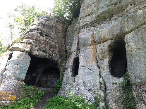
My destination was a wild swimming place that was mentioned in the Observer recently. I didn't go in but it is certainly a bucolic spot
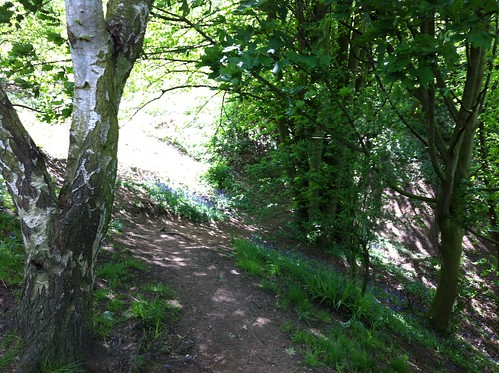
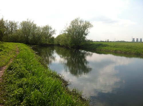
& the caves, which have religious connotations, are interesting:-
Leaving this tarnished paradise at 4, I gave myself 2 1/2 hours to get back to Langley Mill. Things didn't quite go as planned - I made good time through Derby but got slightly lost on the way past Breadsall Priory - I wanted Heanor & Langley Mill, but every sign I passed said Ripley, and despite my best efforts that's where I ended up! There are three valleys between Derby and the Erewash if you go the direct route so I was starting to flag. When I ended up on Street Lane I knew at least where I was, on the good old Icknield Way, so I bowed to the inevitable headed into Ripley and hence to Alfreton. The last bit turned into a mad dash to get to the station, but my luck was in again and the train was that vital few minutes lates, so there was no need for an hour's overlay at Alfreton, a prospect I wasn't relishing. So let's hear it for late trains!
Route map:
http://gb.mapometer.com/cycling/route_3161246.html

1 comment:
I enjoyed reading your post, Simon. From LM station there is a minor road/footpath route to the canal but, if you had taken it, you would not have seen the basin. The houseboat looks familiar - I'm sure it's been moored at Trent Lock for years; there are loads more there. There is a designated FP roughly following the route of the Cromford Canal between LM and Ambergate. I rode it years ago, but north of LM it involves carrying the bike over stiles and fences, as I recall – as I said, it’s a FP! But there is a good bit from Ironville to Golden Valley which you can cycle, and it passes by the Codnor Park Reservoir, which was originally built to feed the canal. The biggest stumbling block is the canal tunnel from Golden Valley to the other side of Ripley. This collapsed years ago, but there are roads to avoid this which will take you past the Midland Railway Center. Beyond Ripley there are traces of the canal here and there, which are worth investigating (eg at Lower Hartshay, Buckland Hollow and behind the houses at Sawmills). You can also see the point where the canal used to cross the A610 at Sawmills (interpretation board there).
Post a Comment